Handheld 3D scanner with robotic arm for automated data capture
3D Scanning Solutions by Industry in Malaysia
Whatever your industry — automotive, mold making, aerospace, marine, energy, medical or education — 3D...
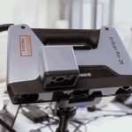
3D scanning for education and research
3D Scanning for Education & Research in Malaysia
For universities, polytechnics and research institutes in Malaysia, 3D scanning turns physical objects...
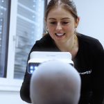
3D scanning an infant's head for a cranial helmet
3D Scanning for Medical, Dental & Orthotics in Malaysia
For orthotics, prosthetics and dental labs in Malaysia, 3D scanning replaces messy plaster casting with...

3D scanning an energy pipeline for corrosion inspection
3D Scanning for Energy & Heavy Equipment Inspection in Malaysia
For energy operators and heavy-equipment manufacturers in Malaysia, portable 3D scanning replaces slow...

An xTool Retail Studio in-store workshop counter with engraving machines and personalised products on display
In-Store Personalization and Live Engraving: Turn Walk-Ins into Buyers
Live engraving converts browsers into buyers — a customer who watches their own name go onto a product...
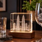
A frosted XTOOL logo on a whisky tumbler beside a crystal block with the Kuala Lumpur skyline engraved inside it
Glass and Crystal Laser Engraving in Malaysia: From Frosting to 3D
Glass needs a UV laser. A CO2 or fiber laser heats the glass and cracks it; a UV laser marks cold, so...

The xTool F2 Ultra on a jewellery shop counter beside trays of gold rings and custom engraving signboards
Jewelry Laser Engraving in Malaysia: Names, Dates and Logos That Last
Laser engraving is the standard for jewellery because it is non-contact — no clamping, no pressure, no...

Six personalised tumblers in assorted finishes, each engraved with a different corporate logo
Tumbler Engraving in Malaysia: The Product That Pays for Itself
Tumblers are the best product to start a personalised-gift business with: constant demand, a cheap blank,...
s100-4
share-logo

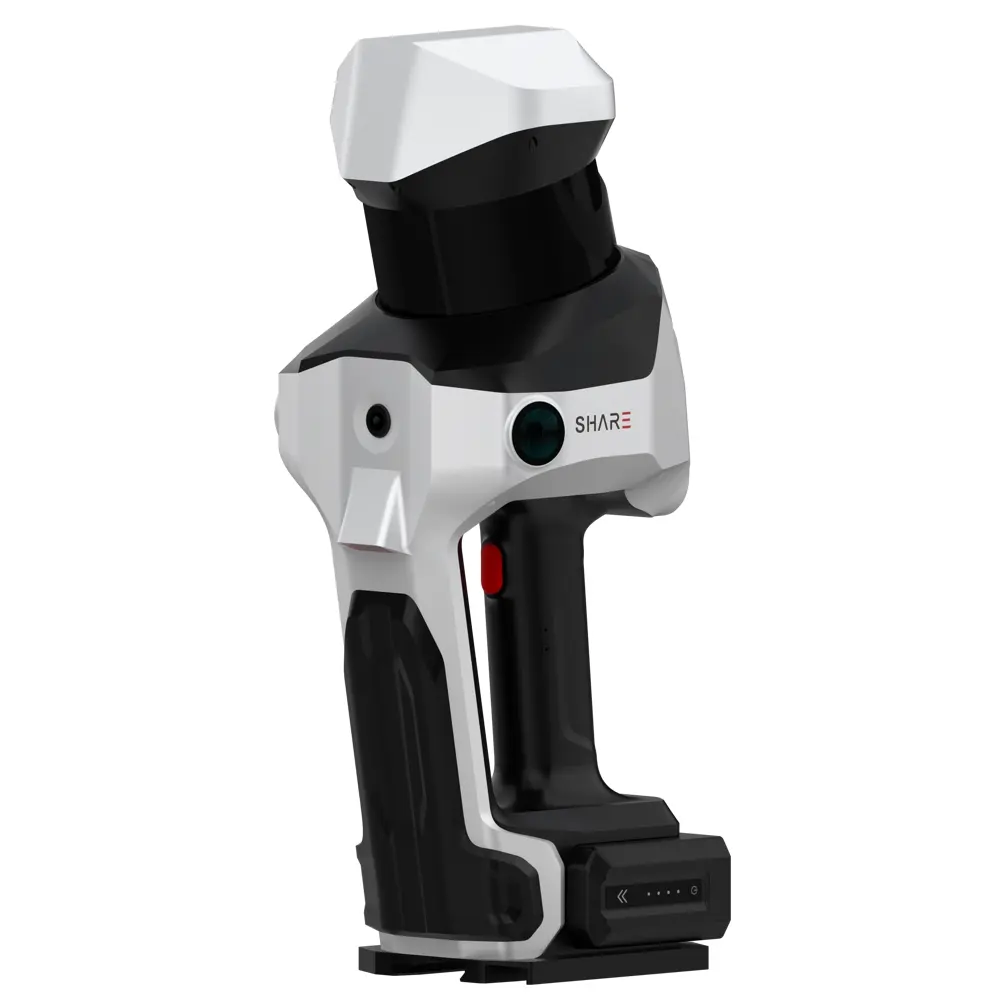
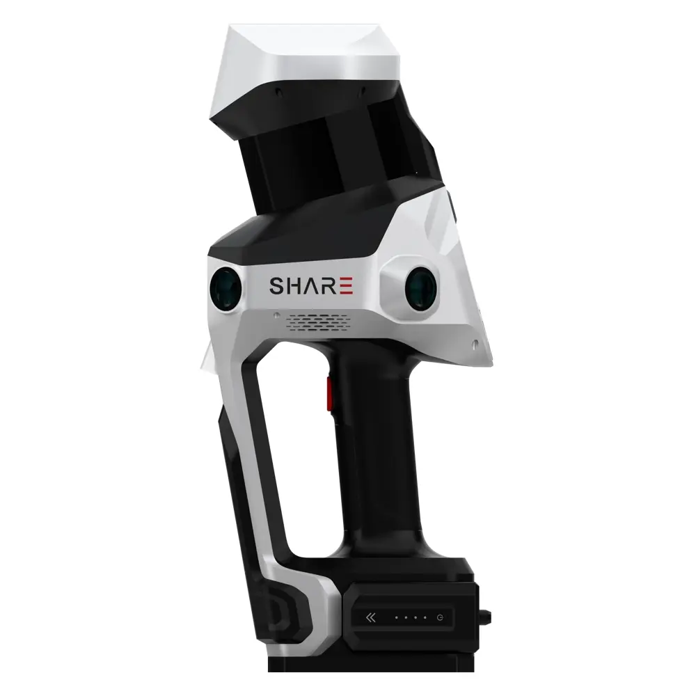
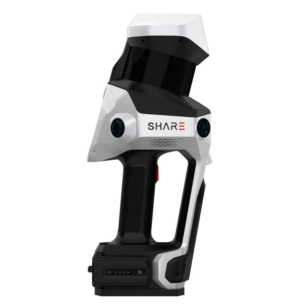
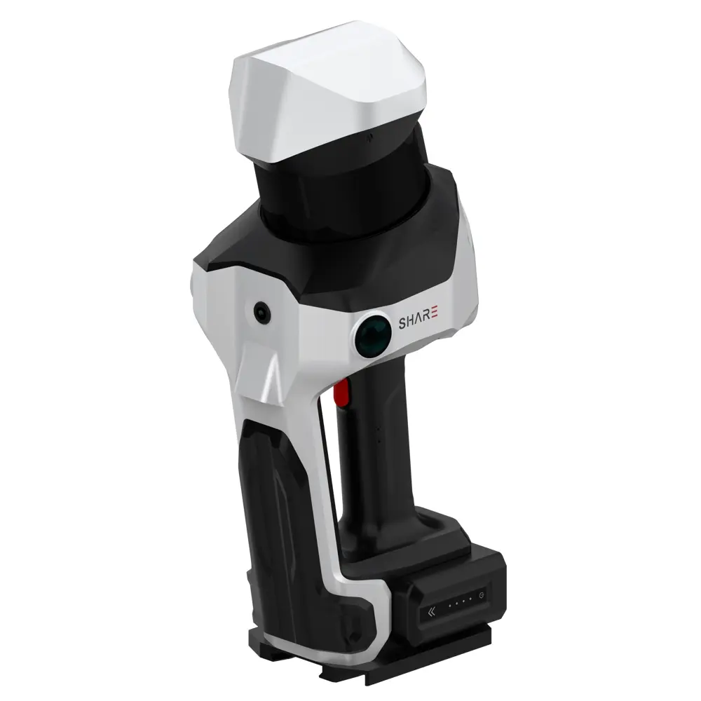
SHARE SLAM S100 SERIES

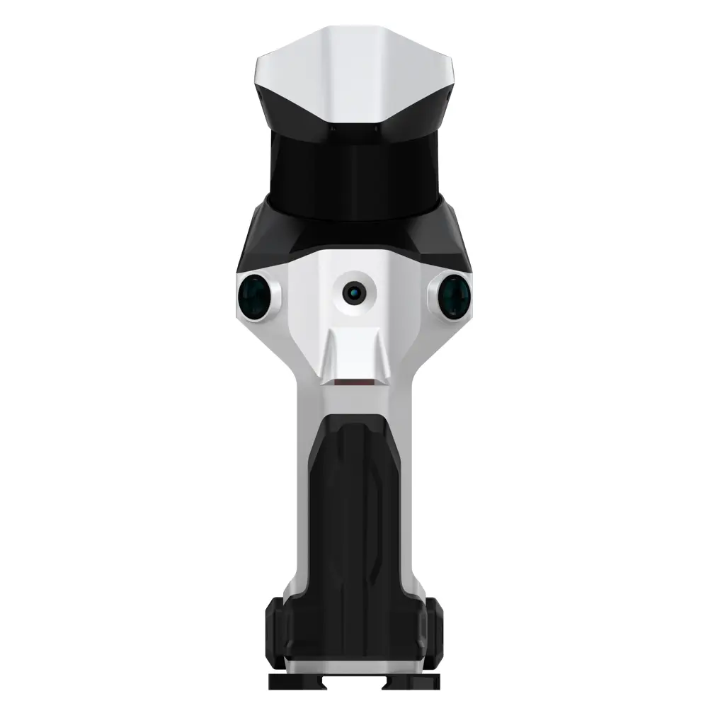
SHARE SLAM S100 Series is a professional handheld SLAM LiDAR scanner with GNSS RTK/PPK designed for fast, accurate 3D mapping in complex indoor/outdoor environments—perfect for surveying, construction, BIM, utilities, and industrial sites across Malaysia.

Facebook
WhatsApp
Email
Twitter

Product Details

SHARE SLAM S100 Series — Field-Ready 3D LiDAR Mapping for Malaysia

The SHARE SLAM S100 Series is built for professionals who need rapid 3D capture without sacrificing georeferenced accuracy. Combining SLAM-based LiDAR mapping with integrated GNSS RTK (and PPK support for RTK-denied areas), S100 helps you deliver reliable point clouds for real-world Malaysian jobsites—whether you’re scanning construction progress, factory assets, building facades, roads, or forested terrain.

Why S100 is a strong fit for Malaysian projects

Malaysia often means mixed environments—tight indoor MEP areas, reflective industrial spaces, covered walkways, dense urban structures, and outdoor heat/humidity. S100 is designed for exactly these “messy” conditions:

  • High-density point clouds for complex environments using SLAM algorithms

  • Integrated RTK for centimeter-level georeferencing, plus PPK workflows when RTK isn’t stable

  • Hot-swappable dual batteries for extended field operation

  • Fast data handling with onboard storage and high-speed transfer features (e.g., Wi-Fi 6 / SSD)

Key features

  • 16 or 32 LiDAR channels (variant-dependent), with point rates up to 640,000 pts/s

  • Range options (commonly shown as 120 m, with Top variants up to 300 m)

  • True-colour capture via integrated cameras with two 16 MP cameras on Base and Mid variants and four 20 MP cameras.

  • RTK + PPK support for survey-grade positioning in challenging locations

  • Ergonomic carrying system + hot-swap batteries for uninterrupted workflows

  • Designed for surveying, construction, architecture, and industrial capture

Common Malaysia use cases

  • BIM / As-Built documentation (commercial buildings, malls, factories, hospitals)

  • Construction progress & verification (earthworks, structural, MEP coordination)

  • Industrial plant scanning (pipe racks, equipment layout, maintenance planning)

  • Road & infrastructure documentation (corridors, culverts, drains, bridges)

  • Forestry / plantation mapping (terrain + access routes, asset documentation)

hi1

Ultra‑HD Imaging, Enhanced Point‑Clouds

Featuring a built‑in 1‑inch mechanical‑shutter mapping wide‑angle camera, it rapidly captures ultra‑high‑definition true‑color images for precise point cloud colorization. The S100‑32 PRO further enhances capabilities with four 20-megapixel wide-angle cameras and an independent 5 nm ISP imaging platform, delivering a broader field of view and finer texture details—faithfully reproducing the real world down to the millimeter.

hi2

Next-Generation RTK for Precise Positioning

The new RTK module features an integrated professional‑grade surveying antenna design, delivering enhanced phase‑center stability, superior anti‑interference and anti-multipath capabilities, along with improved satellite signal tracking—providing more reliable centimeter-level accuracy.

hi3

3‑Hour Extended Operation

To meet the demands of continuous data capture in large‑scale environments, the S100 Series adopts a dual‑battery redundant design, delivering up to 3 hours of runtime. The batteries support hot‑swap functionality, enabling uninterrupted operation.

hi4

Supports PPK Post‑Processing Operations

The device supports PPK post‑processing mode, compatible with both self‑built base stations and cloud‑based PPK. Even in RTK-denied environments such as mountains or deserts, it reliably delivers results with precise geospatial information.

hi5

Visual Laser-Based GCP Acquisition

The S100 Series innovatively adopts a visual laser-based Ground Control Point (GCP) acquisition method. Even in challenging, uneven terrains such as mining areas and caves, it enables precise and convenient control point placement.

hi6

Massive Data, Effortlessly Managed 

Equipped with a standard 1 TB high‑capacity, high‑speed SSD, it meets the storage demands of large‑scale operations. With data transfer speeds exceeding 1 GB/s, it streamlines post‑processing for greater efficiency.

Looking for the right solution for your application? Our team is here to help. Talk to our 3D solution specialist today.

Ultra‑Long Measurement Range of up to 300 Meters

fi1

Ergonomically Designed Load-Bearing System

fi2

Which S100 model, and when LiDAR is the right answer

The S100 series is the survey-grade end of the range: three models sharing the same body, separated by LiDAR channels, point rate and reach. All three combine SLAM with GNSS RTK, and support PPK for sites where correction signals are unreliable — which matters in the mixed indoor-outdoor environments most Malaysian projects involve.

Like the S20, this is documentation equipment: fast, walk-through capture of large or awkward environments for as-built records, BIM, volumes and digital twins. It does not replace a metrology scanner where dimensions have to be proved.

Model LiDAR Point rate Range Cameras
SHARE SLAM S100-16 16 channels 320,000 points/s 0.05 – 120 m 2 × 16 MP
SHARE SLAM S100-32 32 channels 640,000 points/s 0.05 – 120 m 2 × 16 MP
SHARE SLAM S100-32 PRO 32 channels 640,000 points/s 0.5 – 300 m 4 × 20 MP

Frequently asked questions

Which S100 model do I need?

Choose on distance and detail. The 16-channel version covers most building and plant documentation; the 32-channel doubles the point rate for denser data; the 32 PRO extends the range to 300 m and adds two more cameras, which is the one for large outdoor sites and longer corridors.

What is the difference between RTK and PPK here?

RTK corrects position in real time when you have a correction signal. PPK post-processes the same data afterwards, which is what you fall back on where the signal is patchy — under tree cover, between buildings, or on sites without a base station.

How long can it run?

Up to three hours on the dual-battery redundant design, with batteries that can be swapped without ending the scan.

What jobs is it used for?

Topographic and site surveying, construction progress capture, BIM and as-built models, utility and infrastructure documentation, and industrial plant records.

How accurate is the point cloud?

It is a georeferenced documentation tool rather than a metrology instrument. Tell us the accuracy your deliverable has to meet and we will confirm which model and configuration meets it — rather than quote a headline number that may not apply to your site.

What does the S100 series cost in Malaysia?

Quoted per configuration, because the model choice and the software workflow both change the package. Describe the sites and the deliverable and we will quote against them.

Technical Specification

Specification SHARE SLAM S100-16 SHARE SLAM S100-32 SHARE SLAM S100-32 PRO
LiDAR Channels 16 32 32
Point Cloud Rate 320,000 points/s 640,000 points/s 640,000 points/s
Scanning Range 0.05 – 120 m 0.05 – 120 m 0.5 – 300 m
Number of Cameras 2 2 4
Sensor Size 1-inch (13.13 × 8.76 mm), Pixel Size 2.4 μm 1-inch (13.13 × 8.76 mm), Pixel Size 2.4 μm 1-inch (13.13 × 8.76 mm), Pixel Size 2.4 μm
Effective Pixels 16 MP 16 MP 20 MP
Dimensions (L × W × H) 386.8 × 152.7 × 174.4 mm 386.8 × 152.7 × 174.4 mm 386.8 × 152.7 × 174.4 mm
Weight 2438 g 2438 g 2328 g
Wireless Connectivity Wi-Fi 6 (2.4 GHz / 5 GHz, up to 20 m) Wi-Fi 6 (2.4 GHz / 5 GHz, up to 20 m) Wi-Fi 6 (2.4 GHz / 5 GHz, up to 20 m)
Storage Capacity 1 TB SSD 1 TB SSD 1 TB SSD
RTK Accuracy Horizontal: 0.8 cm + 1 ppmVertical: 1.5 cm + 1 ppm Same as S100-16 Same as S100-16
Load-Bearing System Standard Multi-Functional Ergonomic Load-Bearing System Same Same
Battery Capacity 49.436 Wh (3400 mAh) × 2 pcs 49.436 Wh (3400 mAh) × 2 pcs 49.436 Wh (3400 mAh) × 2 pcs
Runtime Approx. 180 minutes Approx. 180 minutes Approx. 180 minutes
Point Cloud Thickness ≤ 5 mm ≤ 5 mm ≤ 5 mm
Relative Accuracy ≤ 1 cm ≤ 1 cm ≤ 1 cm
Absolute Accuracy ≤ 5 cm ≤ 5 cm ≤ 5 cm

Product Video

Product Video List

6 Videos

If you are looking for consumer range products please visit here: 3D Gadgets

Where this scanner sits in the range: All 3D scanners · Professional 3D Scanner range · Buyer’s guide · Accuracy explained · What scanners cost · Laser 3D scanners · Reverse engineering & scan to CAD · Inspection & metrology

Thank you for signing up. You will be the first to know the Industry news, upcoming products, latest technology and special promotion.

Stay Tuned.

Trinventor Solution Malaysia logo

Thank you! 

Your submission has been received. Someone from our team will contact you soon.

If you have any urgent issue,
please contat us by phone
@ +60 12716 8839

Product Inquiry Form

s100-4

SHARE SLAM S100 SERIES